Somehow I’ve managed to be standing at Sam’s Point more times in the winter than the summer months. It probably has a lot to do with the low effort/high payoff for views. Even with having been there a few times, I still miss seeing many areas of the park because it’s so cold out in January. Today was no different. It was 14 degrees and a snow squall was on the way. I’m definitely going to head back during warmer weather, once the caves open up again. Looking forward to spending a whole day there.
The park has a $10 fee and a “beary” good visitor center. If you go in there, you’ll get my sister’s joke lol. You can pay the fee with card or cash. There are clean bathrooms and information about the area. You can get a map or a calendar for upcoming events. Most importantly, the park is dog friendly!

Here’s some information about the three different areas of the park I’ve explored so far…
- Sam’s Point
- Verkeerder Falls
- Ice Caves
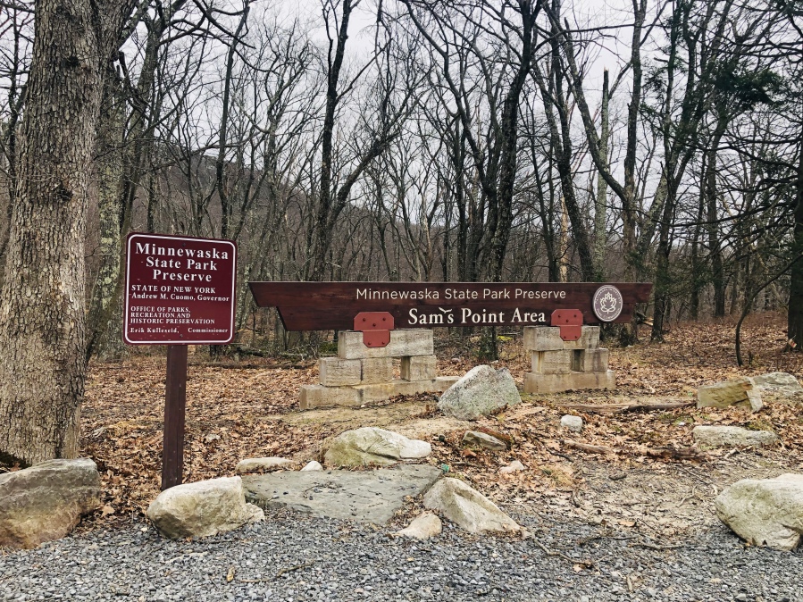
SAM’S POINT
Sam’s Point is 0.6 miles from the parking lot. The sign at the trailhead is for Sam’s Point Loop Road which can be taken in either direction to form a looped hike. I haven’t done the loop. I always go right and follow the well maintained trail all the way up to the Sam’s Point sign. The trail has green blazes, but I promise you won’t need them.

At the sign you’ll make a left. And a minute after that, awesome views! Take plenty of pictures. Including the ones where your younger brother is rocking out. I think the poor guy was just trying to keep warm lol.

From Sam’s Point you can either continue onto another section of the park or re-trace your steps back to your car.

VERKEERDER FALLS
The falls can be accessed from Ice Caves Rd. So if you’re doing this hike after Sam’s Point, you’ll want to make a left onto Sam’s Point Road Loop and walk 0.5 miles. When you see the sign for Ice Caves Road, make a right. You’ll follow this road for 0.1 miles.

When you come across this sign, you are at the trailhead for the falls. The falls are 1.7 miles from this point.

If visiting in the summer months, you’ll walk narrow paths through adorable dwarf pine trees. Make sure to wear sunscreen and pack plenty of water. If you wear hats, bring one of those too!

And then after what felt like a very long walk, you’ll cross a stream. That stream is what cascades off the ledge to create Verkeerder Kill Falls. In a moment you’ll enjoy awesome views!

Take a moment to explore the area, maybe even have lunch here. Or take a moment to meditate. Don’t think about the walk back just yet lol.

PSA: I did see a guy playing around the waterfall for the ‘gram. Please photograph responsibly. After all, the waterfall is 187 feet tall.
When you’re done with viewing the falls, re-trace your steps.
ICE CAVES
The Ice Caves are open weather permitting. This is usually May-November. Check the link HERE for current conditions.
If going to the caves after visiting the falls, re-trace your steps to the Ice Caves Road (ICR). Make a left onto ICR. After walking 0.3 miles you’ll see a sign for the trailhead. This loop has stairs and narrow spaces, hence the warning sign.

The loop itself is 0.6 miles long. And it had one section that was really dark. Make sure you take caution with the low ceilings. Below you can see the stairs that lead to the entrance of the caves.

The Ice Caves are considerably cooler than the rest of the hike. But after sweating on a hot summer day, it will feel refreshing.
If you visit all three areas in one day, you’ll walk a total of ~7.0 miles. It can be done effortlessly if you have the right company and pack the right gear. Can’t wait to hike here again.
“It does not matter how slowly you go, as long as you do not stop”
Confucius

Woman, where is your jacket?!!
LikeLike
Pingback: SCHUNEMUNK MOUNTAIN – SALVI NOMAD